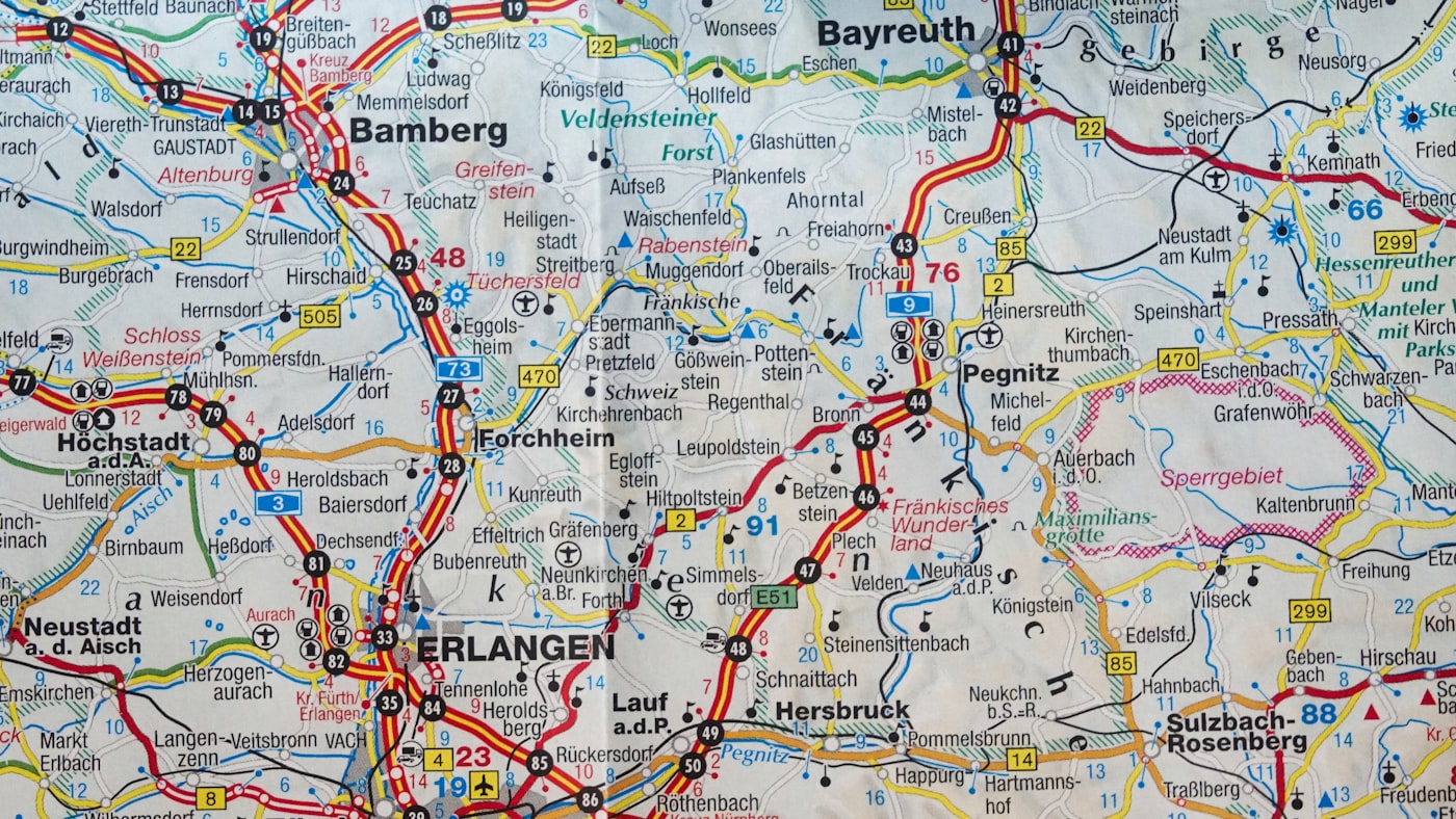
There's something profoundly different about unfolding a physical map before a journey. The texture between your fingers, the careful creases that mark territories you've conquered, the margin notes where you've sketched your own discoveries.
Digital navigation tells you where to go. A well-crafted map shows you where you could go.

Precision cartography that reveals more than just roads
The Problem with Modern Navigation
Most travelers today follow the same algorithmic paths. They see the same landmarks, eat at the same recommended restaurants, and return home with experiences indistinguishable from thousands before them.
The convenience of GPS has made us efficient tourists but poor explorers. We've traded discovery for directions, serendipity for the shortest route.
What we've lost isn't just a sense of direction. It's agency over our own adventures.
The Cartographer's Secret
Professional map makers understand what casual travelers don't: the best discoveries happen in the margins. That's why our maps include not just the official trails, but the whispered shortcuts, the seasonal viewpoints locals protect, and the connections between places that transform a trip into a narrative.
A Different Approach to Territory
Each map we create is designed with a singular purpose: to support genuine exploration while providing reliable guidance. We combine traditional cartographic principles with contemporary insights about how people actually move through spaces.

Our process begins with extensive field research. We don't simply compile existing data; we walk the terrain, interview locals, and document patterns that standard mapping services miss.
The result is cartography that respects both accuracy and possibility.
"I've been using GPS for a decade. One weekend with a mauve-marsh regional map completely changed how I approach travel. I actually looked up from my phone."
— Michael Chen, Adventure Photographer
What Sets These Maps Apart
Our maps feature layered information density. At first glance, you see the essential routes and landmarks. Spend time with the map, and you'll discover annotated insights about terrain changes, seasonal considerations, and alternative pathways.
We use specialized printing techniques that make our maps durable enough for field use while maintaining exceptional legibility. Water-resistant coating, reinforced folds, and UV-stable inks ensure your map survives the journey.

But perhaps most importantly, our maps encourage rather than dictate. Each one includes context about what makes particular routes worthwhile without prescribing your exact path.
Designed for Real Exploration
Whether you're planning a multi-week expedition or a weekend getaway, having a reliable physical map changes the character of your journey. You engage with territory rather than coordinates. You make informed decisions rather than following instructions.
Our clients range from serious hikers who need topographic precision to urban explorers seeking neighborhood-level detail. What they share is a preference for autonomy over automation.
"The coastal navigation maps helped us find sections of beach that weren't on any tourism website. Worth every dollar."
— Emma Rodriguez, Travel Writer
Custom Cartography Services
We offer several approaches to help you navigate your next adventure. Each service is designed to support different exploration needs while maintaining our commitment to accuracy and usability.
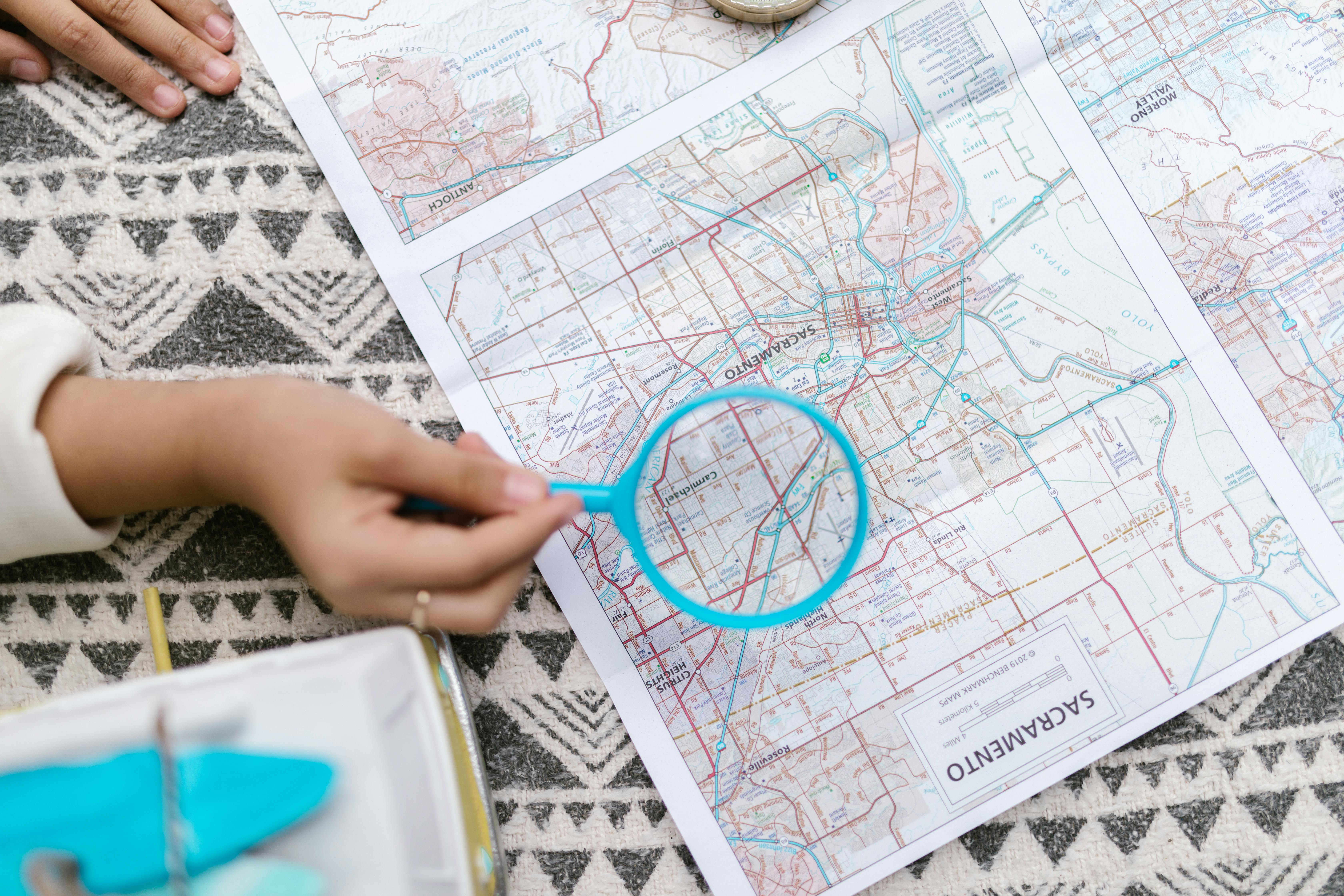
Regional Exploration Maps
Comprehensive mapping of entire regions including terrain variations, seasonal access notes, and local insights. Perfect for extended trips where you want flexibility without losing orientation.
$127.50 AUD
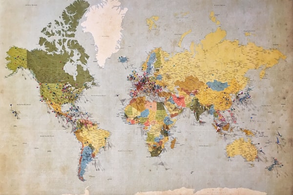
Urban Navigation Guides
Detailed city maps that go beyond main thoroughfares. Includes pedestrian shortcuts, neighborhood character notes, and layered transportation options. Designed for travelers who prefer walking to ride-sharing.
$89.95 AUD
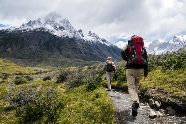
Topographic Trail Maps
Precision elevation mapping for hikers and outdoor enthusiasts. Includes gradient indicators, water source locations, and camping considerations. Built for those who take terrain seriously.
$143.75 AUD
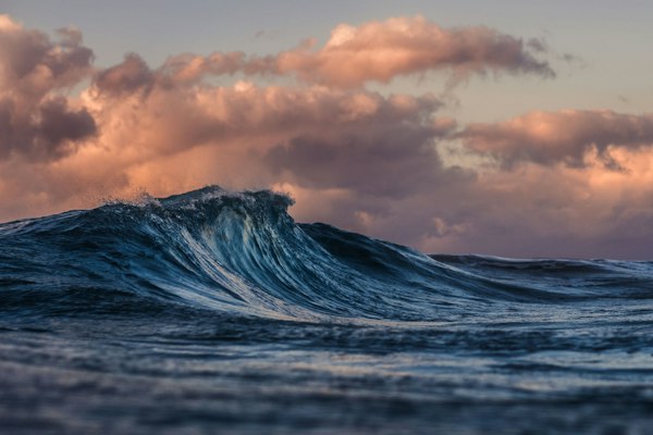
Coastal Navigation Charts
Specialized mapping for coastal exploration including tide considerations, beach access points, and maritime features. Essential for anyone exploring shoreline territories.
$156.20 AUD

Custom Territory Mapping
Bespoke cartography designed around your specific journey. We conduct custom research and create maps tailored to your exploration objectives. Ideal for unique expeditions requiring specialized detail.
$324.80 AUD
✓ Water-resistant materials
✓ Field-tested accuracy
✓ Reinforced for durability
Important Notice: Maps are navigational aids and should not be your sole source of wayfinding information. Terrain conditions, access restrictions, and environmental factors may change. Always carry backup navigation tools, inform others of your route, and exercise appropriate judgment based on your experience level. Results and experiences may vary. This information is not a substitute for professional guidance or local expertise. Consult with experienced guides when exploring unfamiliar territory.